Service
3D Laser Scanning
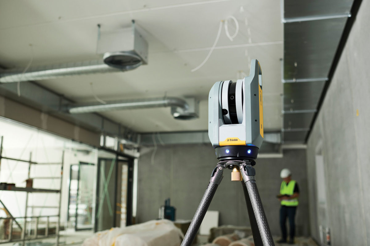
We use the latest in 3D scanner technology to obtain accurate, high-quality point cloud data. The data we provide has various use cases, from BIM applications to simply extracting sections, elevations, and plans.
- LSurvey complex areas quickly and accurately.
- LCollect comprehensive information about any building.
- LAccess all data about the site without visiting.
- LOutput as point cloud model or 2D and 3D plans.
- LUse 3D point cloud data as BIM platform.
- LSurvey service available across Cornwall and the UK.
Laser scan surveys
By emitting a laser beam and recording the reflections off the surface of the object, the scanner is able to create a precise 3D digital model known as a point cloud.


Point cloud output
The Laser Scan Survey Process
1. Quote
Provide us with an address and the survey area. If you aren’t sure, get in touch and we can offer suggestions. Once we have the relevant information, we send you a fixed price quote.
2. On Site Survey
Once your quote is approved, we will book your job in and arrange a site visit to carry out the survey. We are flexible and can work around you in terms of dates and times to visit.
3. CAD Drawings
Once the on-site survey work is complete, we process the survey data and produce the CAD and PDF drawings. On completion the drawings are thoroughly checked and then emailed.
4. After Care
If required, we undertake any revisions to your drawings. We ensure you are 100% satisfied with our services. Payment is not required up front, pay on drawing delivery.
Why Choose Us?
Speed
Fast turn-around of measured data to get your project off the ground and moving fast.
Accuracy
Our comprehensive surveys provide a reliable foundation for your project.
Communication
Working closely with clients, we tailor our service to provide relevant survey solutions.
Detail
Capture of all site detail, from building and boundary locations to ceiling heights and socket positions.
Understanding
Make informed decisions about your site with our plans and digital terrain models.
After Care
Updates or amendments are no problem and are undertaken swiftly to keep your project on track.
Have a project in mind?
If you require a land surveyor in Cornwall or wish to discuss an upcoming project that we may be able to help with, please get in touch with us today.
