Service
Boundary Surveys
With land such a valuable resource, particularly in densely populated environments, it is essential for property owners and developers to have a clear understanding of their sites constraints.
- LBoundary demarcation surveys.
- LMark out Land Registry boundaries from HMLR records.
- LAccurately survey and record existing boundaries.
- LOverlay measured survey data with existing records.
- LNecessary revisions undertaken free of charge.
- LTitle plan drawings issued to scale in PDF format.
Measured boundary survey
Such information is invaluable for a boundary expert and will be used to formulate recommendations and opinions when used in conjunction with the property Title Deeds or negotiated agreements.


Land registry compliant plans
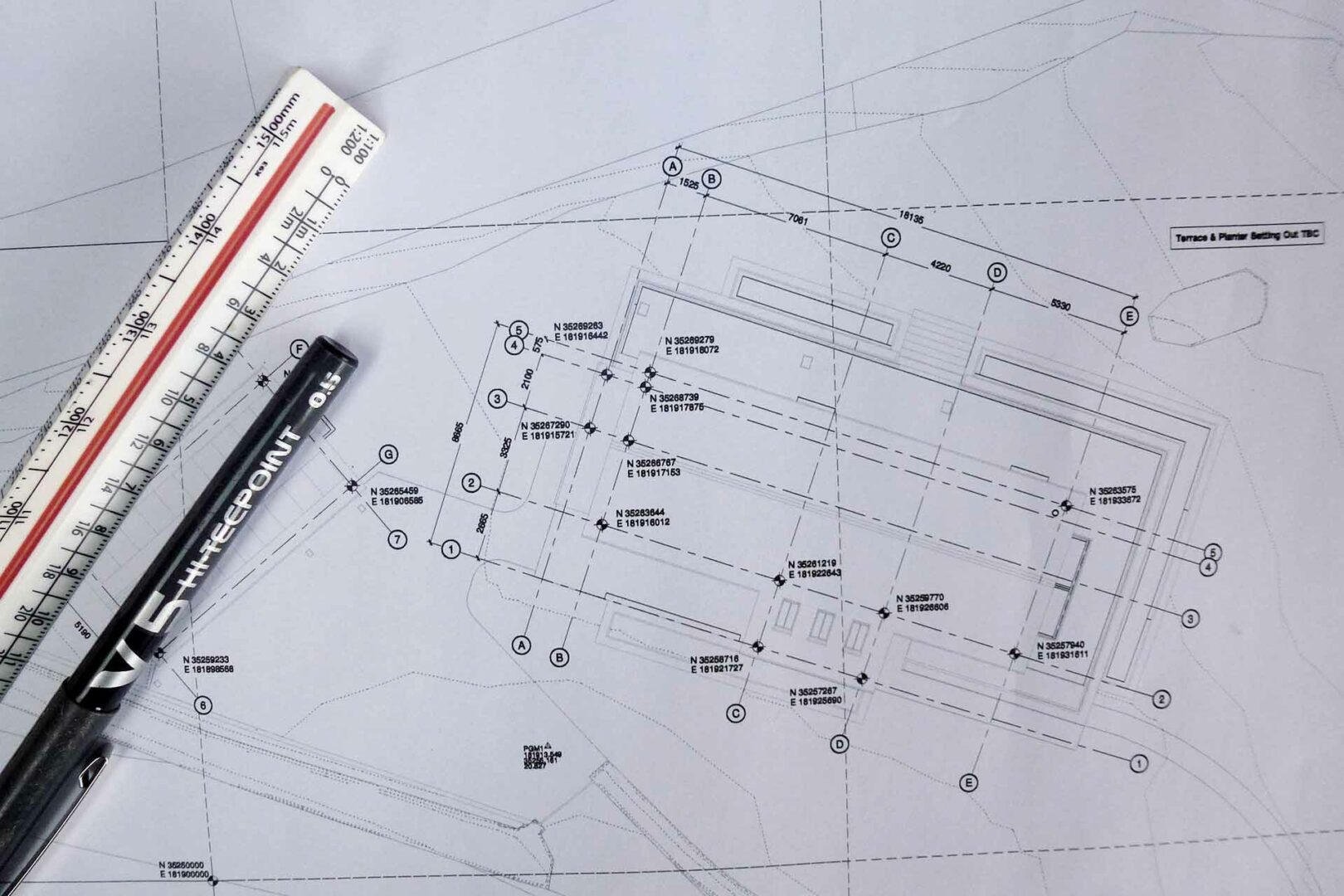
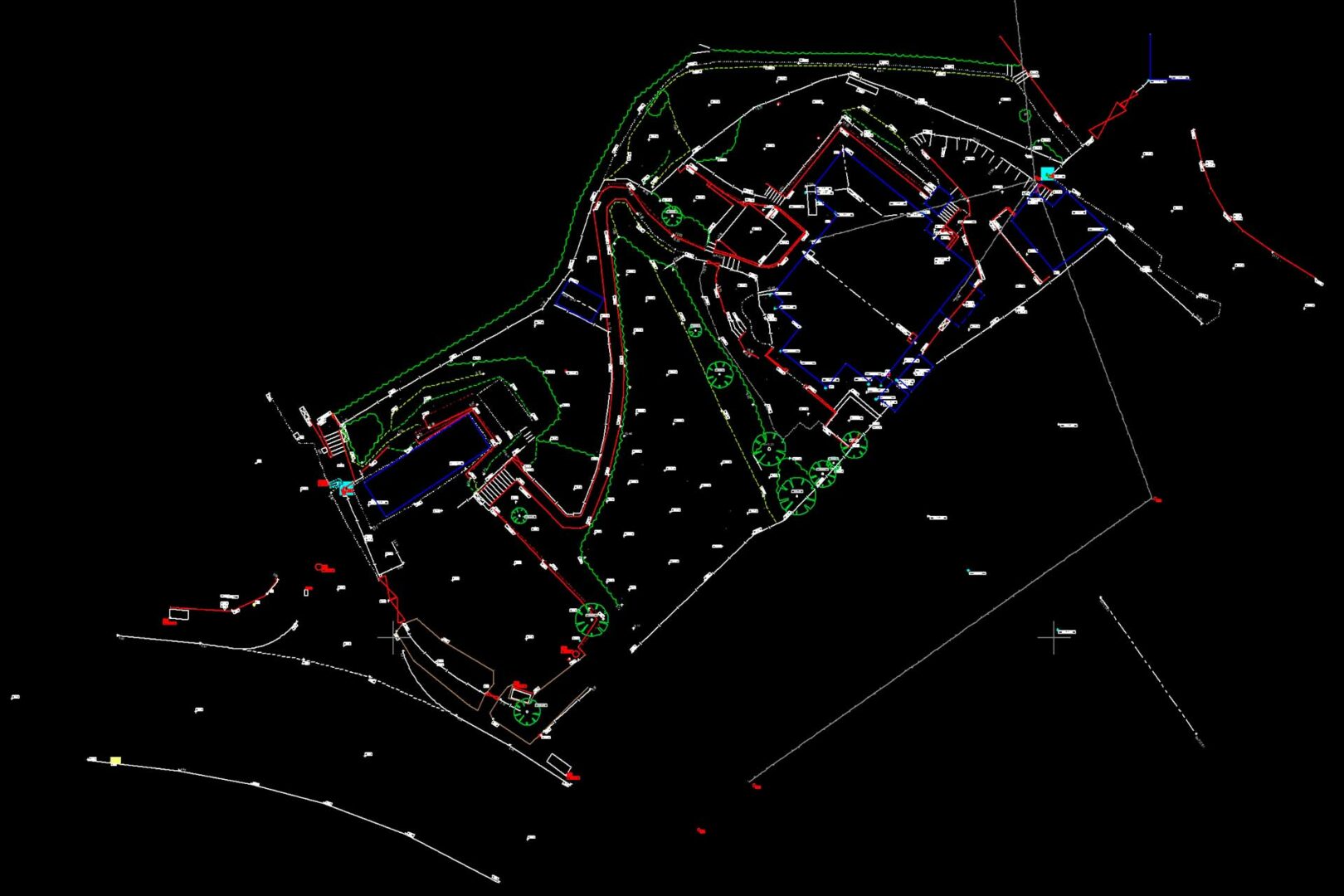
We can assist by carrying out a measured survey to accurately establish existing boundary and building positions. We then combine our field measurements with existing Land Registry and OS mapping data to produce a title plan.
The title plans we provide are prepared in accordance with Land Registry guidance. They will correctly define the boundaries of the site, as well as any easements or covenants and can be registered with Land Registry.
Why Choose Us?
Speed
Fast turn-around of measured data to get your project off the ground and moving fast.
Accuracy
Our comprehensive surveys provide a reliable foundation for your project.
Communication
Working closely with clients, we tailor our service to provide relevant survey solutions.
Detail
Capture of all site detail, from building and boundary locations to ceiling heights and socket positions.
Understanding
Make informed decisions about your site with our plans and digital terrain models.
After Care
Updates or amendments are no problem and are undertaken swiftly to keep your project on track.
Have a project in mind?
If you require a land surveyor in Cornwall or wish to discuss an upcoming project that we may be able to help with, please get in touch with us today.
