Service
Topographical Survey
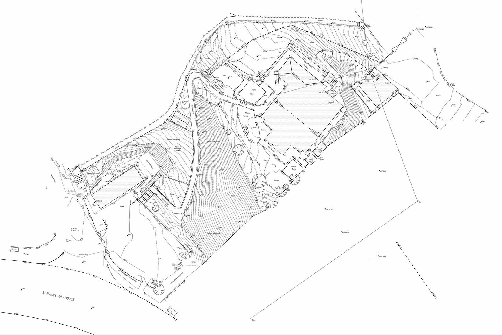
The measurement and recording of topographic, terrain and boundary detail forms the core of our services and is usually the fundamental starting point from which most development progresses.
- LLand surveys across Cornwall & the UK
- LSurveys aligned to Ordnance Survey (OSGB36).
- LFrom individual plots to multi acre developments.
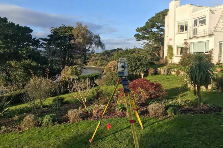
- LDetailed, accurate data captured using Leica equipment.
- LSurveys available as 2D, 3D and digital terrain models.
- LOrganised, layered CAD drawings.
Land surveys & mapping
A topographic survey measures and records the contour of the ground surface along with the natural and man-made features within your site.
The survey provides detailed information relating to the site extents, location, its boundaries, features, built environment and surrounding infrastructure.
By having a precise, detailed topographical CAD drawing you can make informed decisions and ensure your project gets off to the best possible start.


We are continuously investing in the latest technology, equipment and software in order to provide a first class service to our clients.
You can rely on the information we provide which is undertaken to RICS (Royal Institute Of Chartered Surveyors) standards.
Our surveys are available as 2D, 3D and Digital Terrain Models and are produced in .dwg and .pdf format.
The Land Surveying Process
1. Quote
Provide us with an address and the survey area. If you aren’t sure, get in touch and we can offer suggestions. Once we have the relevant information, we send you a fixed price quote.
2. On Site Survey
Once your quote is approved, we will book your job in and arrange a site visit to carry out the survey. We are flexible and can work around you in terms of dates and times to visit.
3. CAD Drawings
Once the on-site survey work is complete, we process the survey data and produce the CAD and PDF drawings. On completion the drawings are thoroughly checked and then emailed.
4. After Care
If required, we undertake any revisions to your drawings. We ensure you are 100% satisfied with our services. Payment is not required up front, pay on drawing delivery.
Why Choose Us?
Speed
Fast turn-around of measured data to get your project off the ground and moving fast.
Accuracy
Our comprehensive surveys provide a reliable foundation for your project.
Communication
Working closely with clients, we tailor our service to provide relevant survey solutions.
Detail
Capture of all site detail, from building and boundary locations to ceiling heights and socket positions.
Understanding
Make informed decisions about your site with our plans and digital terrain models.
After Care
Updates or amendments are no problem and are undertaken swiftly to keep your project on track.
Have a project in mind?
If you require a land surveyor in Cornwall or wish to discuss an upcoming project that we may be able to help with, please get in touch with us today.
